
Who doesn’t love grass trees?
They’re one of the most unique plants in the Australian landscape and ever since I was a kid, they’ve captured my imagination.
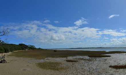
Almost a dominant species on this day-hike in Brisbane Ranges National Park, you’ll feel as if they watch over you like wise old spirits.
Much of this track forms part of the three-day Burchell Trail, so the track is well defined and well marked with signs and orange markers. A big chunk of the hike is on management vehicle tracks but, while this would normally be very off-putting for me, it doesn’t take away from the experience much at all.
It passes through various landscapes and vegetation types, showing varying degrees of human interference, most notably the old slate quarries. Just as important to note are the grass trees which have obviously succumbed to the Cinnamon Fungus pathogen (Phytophthora Cinnamomi). Some have just a few dead leaves on their crown, but many lay in pieces on the forest floor.
This circuit is hilly in parts, with one major ascent of about 125 metres over a relatively short distance. If you’re unfit and in need of a break mid-climb be careful where you sit down because, as one of my mates discovered, the bull ants don’t like visitors.
We spotted Eastern grey kangaroos, wallabies and an echidna along the way.


Need to Know
Length: 14 km
Time: 5 hrs
Grade: Moderate / Grade 3 (according to the Australian Walking Track Grading System).
Style Partial Circuit
Region: Western Victoria
Park: Brisbane Ranges National Park
Closest Town: Bacchus Marsh (25 km)
Path Taken: Boar Gully Camping Ground – Little River Track – Link Track – Kangaroo Track – Thompsons Road – Quarry Track – Slate Track – Unnamed (signed) track – Wallaby Track – Kangaroo Track –
Little River Track – Boar Gully Camping Ground
Car Access: From Melbourne, follow the Western Freeway to Bacchus Marsh and turn left along Geelong Road. Turn right at the roundabout (just over a kilometre on) and then after 8 kilometres (passing under the railway) turn right on Glenmore Road. Take a left on Reids Road (aka. Bacchus Marsh-Mt Wallace Road) and continue for about 14 kilometres. Turn left into Boar Gully Camping Ground.
Map: All tracks are shown in Parks Victoria’s Brisbane Ranges Park Note. However, they are not all named and signs shouldn’t be relied upon. You’ll need to grab this 1:30,000 scale topographic map of the Brisbane Ranges. If you’re happy to use your phone as your map you can download the free Avenza Maps app (on Android, iPhone, or Windows) and purchase the same map for AUD$14.99.

Have you visited Brisbane Ranges National Park? Got it on your bucket list? If you have any stories, updates or corrections, please let us know by commenting below.
Exploring the Great Ocean Road?
You won’t see the best sights from your car. Get the definitive guidebook, featuring the 25 best walks in the area with detailed instructions and maps.


