Length (km): 10 km
Time (hrs/min): 3 hours
Grade: Easy
Return / Circuit / One-Way / Partial Circuit: Partial Circuit
Region: North-East Victoria
Park: Warby Range State Park
Closest Town: Glenrowan (10 km)
Maximum Elevation: approx. 507 m (according to MapMyHike.com)
Total Ascent: approx. 156 m (according to MapMyHike.com)
Car Access: Glenrowan is 235 km northeast of Melbourne on the Hume Highway. From the main street of Glenrowan, head north on the street that crosses the train tracks near the public toilets and turn right at the T-intersection (onto Old Hume Highway / Warby Range Road). Follow this until Taminick Gap Road and turn left. After a short time, you will come to a gate on the left with a Parks Victoria sign stating distances to Mount Glenrowan and Chick Hill. You can either park next to the gate (making sure you don’t block access), or there is lots of room across the road.
Hiking Mount Glenrowan and Chick Hill
Mount Glenrowan has been beckoning me from the Hume Highway for more years than I can count, so I finally made the detour to see what things look like from its summit.
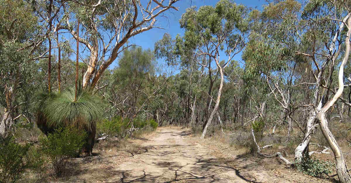
From the information signs, head up Ridge Track, which is sealed for the first 700 metres. After only a few minutes, you’ll be treated to views over the (now-decommissioned Lake Makoan) to the west. When you arrive at the fenced-off towers, you need to head to the right, but you can walk a short distance to the left for excellent views to the east (no big deal if you don’t because there are great views at several points along the track).
Continue along Ridge Track until you arrive at a big water tank. Ridge Track heads to the tank’s left but take the unmarked track to the right instead. At the end of this track, continue to the right along Ridge Track and ignore any intersections until you reach the summit. Explore the area around the summit for more amazing views.
")
Retrace your steps to where the unmarked track rejoins Ridge Track. Continue along Ridge Track and then turn right onto Chick Hill Track and proceed to Chick Hill. At the end of the track, you need to bush bash to the left if you want to reach the summit (there are signs indicating this).
Return to the start of Chick Hill Track and turn right to follow Ridge Track back to the water tank. Retrace your steps from here to the car.
All tracks are management vehicle tracks (apart from the very short final section to the summit of Chick Hill, which isn’t really a track at all), so despite a couple of steep bits, this is easy walking. The views are the definite highlight of the walk, but there were lots of lizards, butterflies and birds (kookaburras, magpies and other types I’m unfamiliar with).
")
Related Walks:
- Friends Track is another trail in Warby Range State Park. The forest there is quite different to the area around Mount Glenrowan.
Have you visited Mount Glenrowan? If you have any stories, updates or corrections, please let us know by commenting below.
Are you interested in more from Bushwalking Blog? You can either sign-up for the e-mail newsletter or get updates via the RSS feed, Facebook or Twitter.


