Brazil is full of lush forests, towering green mountains, and breathtaking ocean views. Depending on which part of Brazil you’re visiting, you’ll want to check out some of the best hiking spots in the area.
If you want to know what locals recommend, you can learn more about Brazil at Crowdsourced Explorer.
Rio de Janeiro
Pedra de Gavea, Parque Nacional de Tijuca
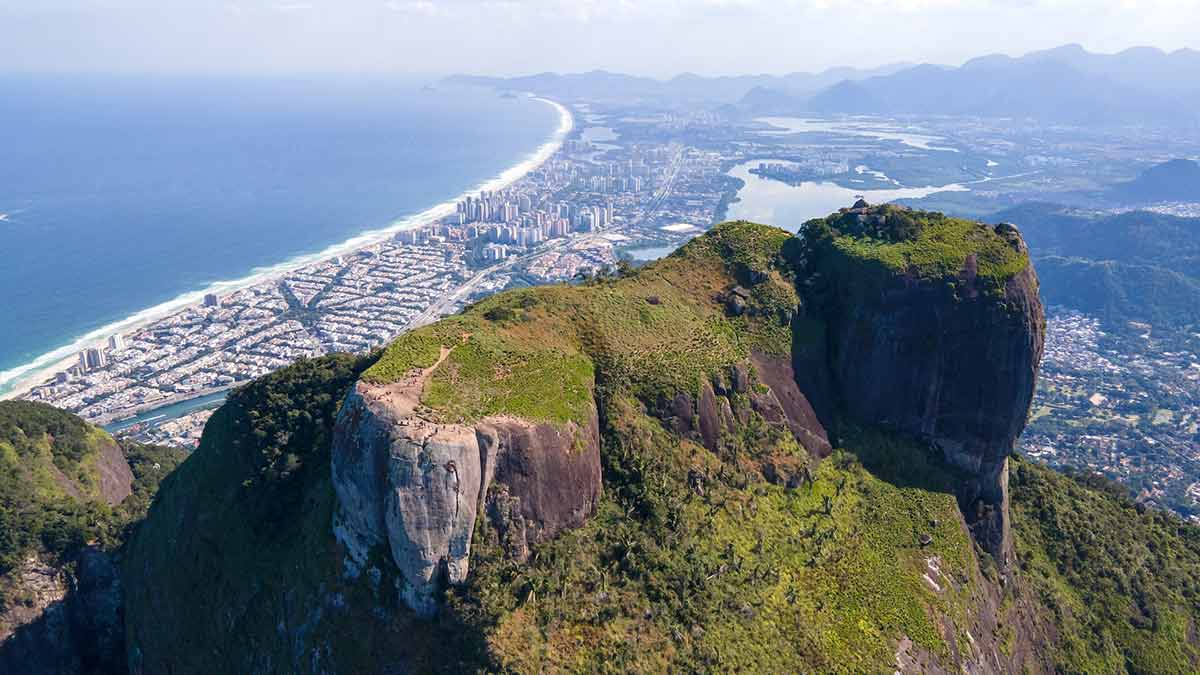
Near Rio de Janeiro, you’ll find this challenging but rewarding hike. Pedra de Gavea is the world’s biggest monolith by the sea and provides a spectacular view.
Halfway up, where the trail starts to get difficult, you can see the Garganta do Céu. This lookout point provides a view of the tree-lined mountains and sandy beaches lining the ocean.
The trail becomes so steep after the lookout that you will need climbing equipment and ropes. Unless you’re an expert climber, you should probably get a guide.
Pedra de Gavea is popular and will likely be crowded unless you go there in the early morning or evening. It is open year-round for tourists to visit.
Need to know
Length: 3.1 miles / 5 km
Time: 3 hrs 30 min
Elevation Gain: 2,500 ft / 762 m
Difficulty: Hard
Style: Return
Access: The easiest access is via a route called “Pico dos 4” near the “Garganta do Céu.” The other way to access it is to climb a 30-meter wall called Carrasqueira.
Vista Chinesa hike, Tijuca Forest
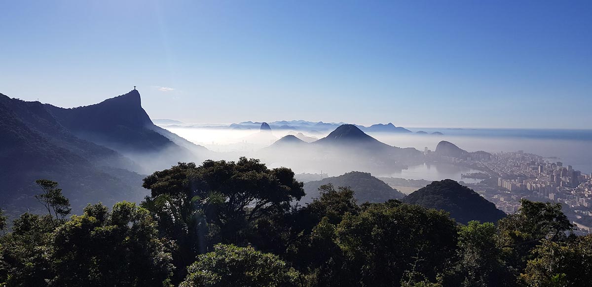
The Vista Chinesa hike in the Tijuca Forest is a popular spot for hiking because it has amazing views. You can look out over the top of Rio de Janeiro to see the city surrounded by tall green mountains and a deep blue ocean.
Make sure you use the bathroom before setting out, as there aren’t any facilities there.
Need to know
Length: 2.3 miles / 3.7 km
Time: 1 hr 45 min
Elevation Gain: 1,023 ft / 311 m
Difficulty: Moderate
Style: Return
Access: In the Parque da Cidade in Gavea, you’ll follow the signs to Trilha. Follow the dirt road for 20 min and then take a road to your right that has shoes painted on the trees.
Portais de Hércules, Parque Nacional Serra dos Órgãos
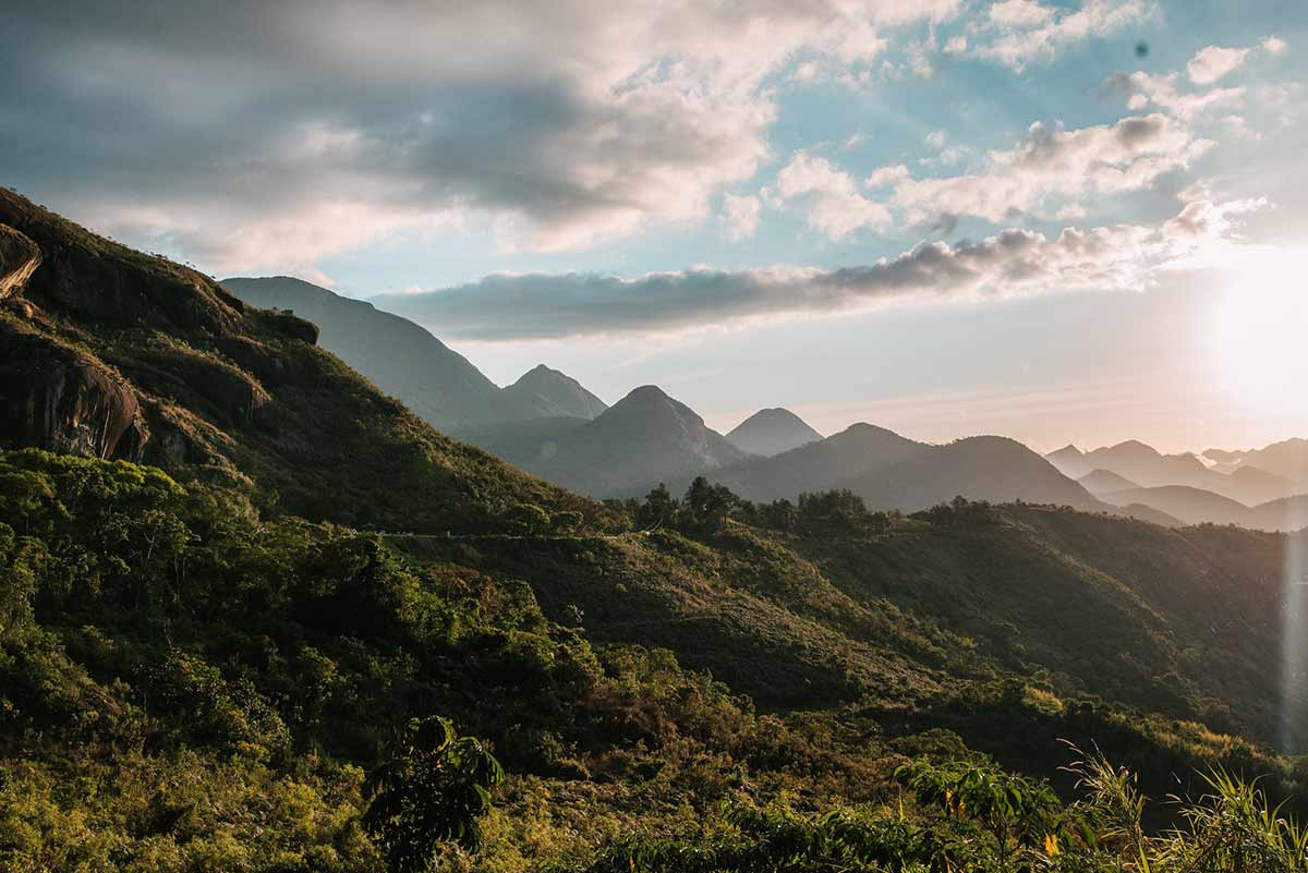
In Parque Nacional Serra dos Órgãos, you’ll find a unique trail called Hercules’ Portals, which is named after a cliff along the trail which looks like Hercules’ face. Along the way, there are many amazing views, including a 360-degree view of the surrounding mountain range and ocean. There’s a gorgeous waterfall at Poço Dois Irmãos during the summer months. You can bring your bathing suit and take a quick dip, but during the winter it is too cold for a swim.
This is a long hike and will likely take a couple of days even for those in excellent shape. You can stay at a hostel or a campsite near the trail, as there are many places to stop for the night. There is also a souvenir shop near the entrance you won’t want to miss.
Need to know
Length: 12.5 miles / 20 km
Time: 2 days
Difficulty: Hard
Style: Return
Access: This hike is in the Parque Nacional Serra dos Órgãos, which is 2 hours from Rio. You’ll find the entrance to this route near the entrance of Teresopolis.
Ilha Grande
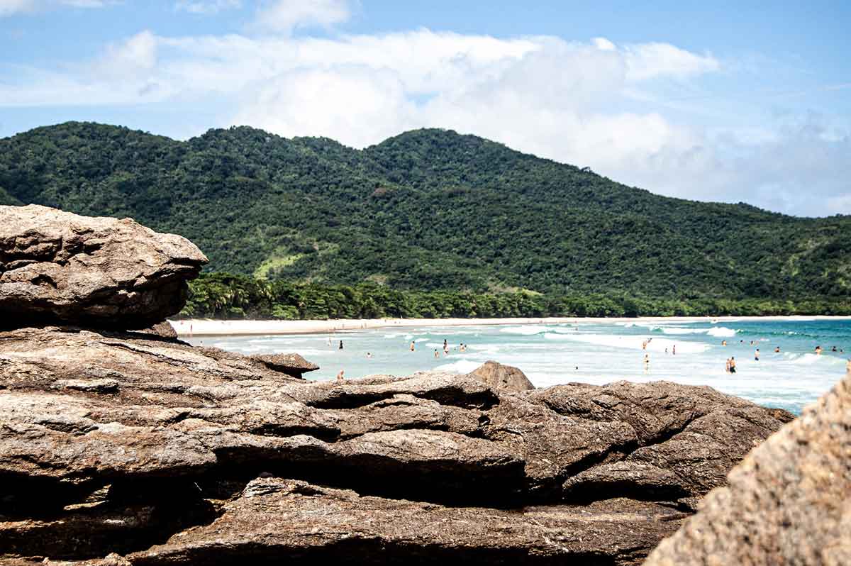
Ilha Grande is just off the coast of Brazil. It is a gorgeous island with plenty of hiking trails which follow the shoreline, giving you a magnificent view of the ocean.
You’ll enjoy the swaying palm trees and tropical forest as well as the sparkling Feiticeira waterfall and the old buildings this hike passes. If you want to explore the entire island, it will be a seven-day trek to do an entire circuit.
Need to know
Length: 51 miles / 82 km
Time: 7 days
Difficulty: Moderate
Style: Circuit
Access: You’ll need to travel to Mangaratiba, Conceição de Jacareí, or Angra dos Reis to reach this island. From there, you can take a ferry or other water transport to the island. A private schooner departs from Conceição de Jacareí for a 50-minute- ride to the village of Abraão. A ferry runs from Mangaratiba and Angra dos Reis to Abraão as well. You can also take a private water taxi from Angra to the island.
Trilha do Corcovado, Parque Henrique Lage
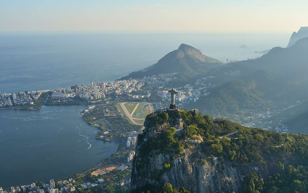
This beautiful year-round trail leads to the top of Corcovado, a famous mountain with the Christ the Redeemer statue at the top. The trail has flowing waterfalls and abundant wildlife.
It cuts through the forest with a few difficult climbs. The closer you get to the summit, the easier it becomes. At the top, you’ll enjoy a breathtaking view of Rio de Janeiro and the ocean.
Need to know
Length: 5.1 miles / 8.2 km
Time: 4 hrs
Elevation Gain: 2,358 ft / 719 m
Difficulty: Hard
Style: Return
Access: The trail begins at Parque Lage.
Minas Gerais
Gruta do Janelão trail, Parque Nacional Peruaçu
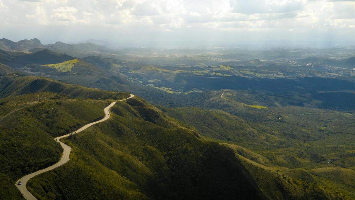
This trail is inside the largest limestone cave in the valley in the Peruaçu National Park.
The rocks are a sight to behold and have some of the most beautiful artwork on them. Exploring the cave is like stepping into an ancient art museum.
There are countless archaeological sites along the way with engravings which are over 1,000 years old. While this hike can be done in less than five hours going there and back, it would take several days to explore all the attractions in the caves.
To explore the caves, you’ll have to book it ahead of time, as you must have an approved guide. You can find the forms at cavernas.peruacu@icmbio.gov.br to fill out ahead of time.
Need to know
Length: 2.9 miles / 4.6 km
Time: 5 hrs
Difficulty: Moderate
Style: Return
Access: The Parque Nacional Peruaçu is 125 miles (200 km) from Montes Claros if you take highway BR135. If you want to stay closer, you could stay at Pousada Camaleao in Itacarambi, which is 9.3 miles from the park.
Sao Paulo
Trilha do Boi, Parque Nacional de Aparados da Serra
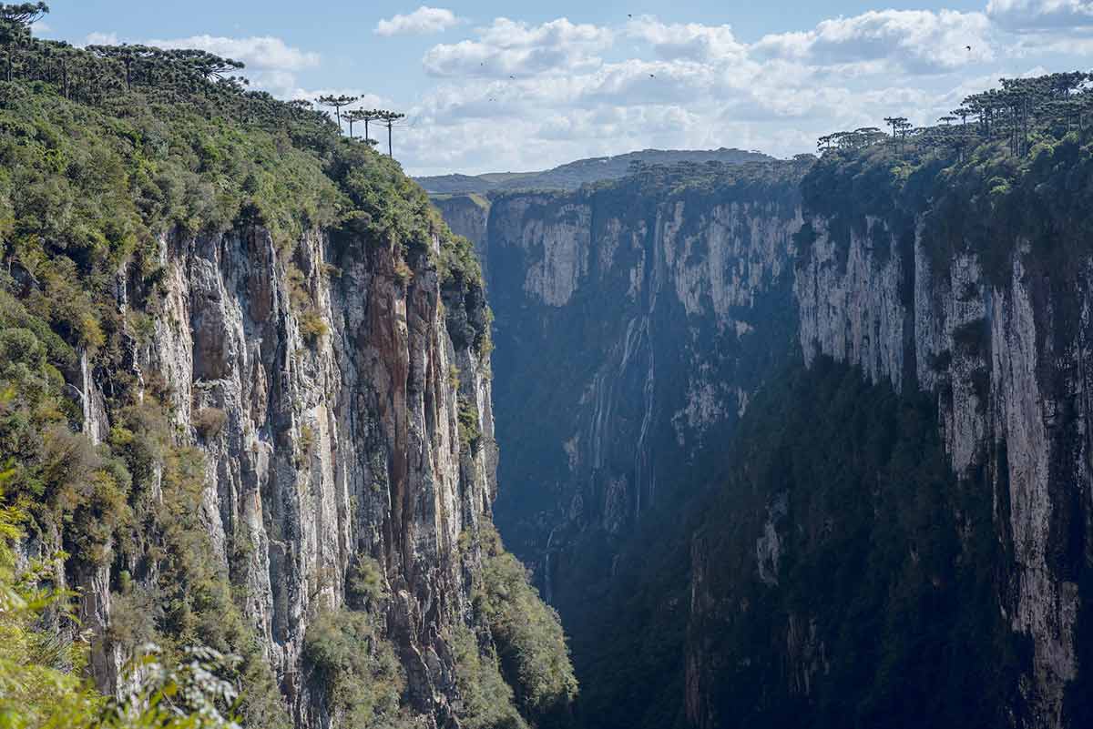
This trail is near Praia Grande, Santa Catarina. It is a popular hiking spot and can be somewhat challenging. There are three main trails in Parque Nacional de Aparados da Serra, and Trilha do Boi is the most difficult.
It winds along a river at the bottom of Brazil’s largest canyon, Itaimbezinho. The canyon is as tall as 2362ft at one point, towering above you as you pick your way through it. At the end of the trail, you will see two waterfalls, the Andorinhas and the Véu da Noiva, which you can swim in during the summer.
You will have to climb boulders and cross the river at points. You’ll need to bring the appropriate gear and expect to get wet! You will need to book a local guide to explore the Trilha do Boi trail, as it isn’t for beginners.
Need to know
Length: 8.6 miles / 13.8 km
Time: 7 hrs
Difficulty: Hard
Style: Return
Access: Drive down a gravel road toward the Rio do Boi and you’ll find the Parque Nacional de Aparados da Serra entrance.
Bahia
Vale do Pati, Chapada Diamantina
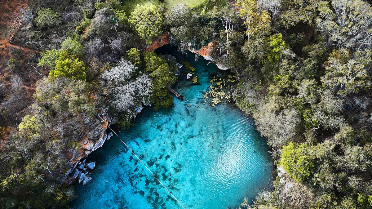
The Vale do Pati is a moderate to difficult trek but you will need endurance.
Along the way, there are many attractions including the Pati Valley Viewpoint, the Funil Waterfall, Castle Hill, and then Cachoeirão. During the rainy season (summer), there are over 20 flowing waterfalls but beware of slippery areas on the trail.
If you go during the dry season, you won’t see the waterfalls but the views are still worth the trek.
The Vale de Pati has been noted as one of the most beautiful places to cross in National Geographic’s 100 Hikes of a Lifetime.
You can stay overnight at the “Pati de Baixo”. There are ten families in Pati valley which carry on the tradition of letting visitors stay at their house. You will get delicious meals and a place to sleep.
Need to know
Length: 37.5 miles / 60 km
Time: 7 days
Difficulty: Moderate-Hard
Style: One-Way
Access: You can access Pati Valley through the village of Guinea. The Valley is in the center of the Chapada Diamantina National Park
Roraima
Monte Roraima
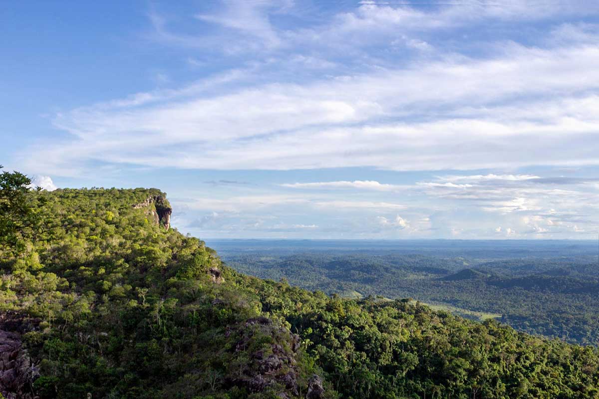
Mount Roraima in the Guiana Highlands is a stunning, flat-topped, tall mountain which borders Venezuela, Brazil, and Guyana. From the top, you can see surrounding cliffs which are 400 to 1,000 meters high.
Some other points of interest on this mountain include the waterfalls and unique plants, some of which are carnivorous. It also has a valley of crystals and many rock columns along the way.
Because of all the water that hits this mountain and spills down, it is only safe to climb from December to March during the dry season. At other times of the year, the rivers around it are flowing too fast to be safe to cross.
You should plan to wear long sleeves and plants and lots of bug spray, as there are many black flies (puri puri) which will bite you. You’ll want waterproof clothing and shoes, as it rains often. You will need to bring a backpack of your things and camp out at night.
Need to know
Length: 53 miles / 85 km
Time: 6 days
Elevation Gain: 1,312 ft / 400 m
Difficulty: Hard
Style: Return
Access: Mount Roraima is on the border of Venezuela, Brazil, and Guyana. It is usually accessed from Venezuela as the other sides are very difficult.
Have you been hiking in Brazil? Got it on your bucket list? Got any questions, comments, updates or corrections? Let us know by commenting below.


