A tip for you before we start. Use Mapa Turystyczna for planning hikes in Poland. The website contains all hiking trails in the country, it shows you distance, estimated time, and elevation gain. There is also a mobile app. It’s in Polish but fairly intuitive, you can also use a translation plug-in in your browser.
Kuźnice – Hala Gąsienicowa – Czarny Staw Gąsienicowy – Karb – Kościelec, Tatras

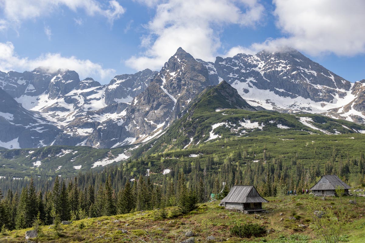
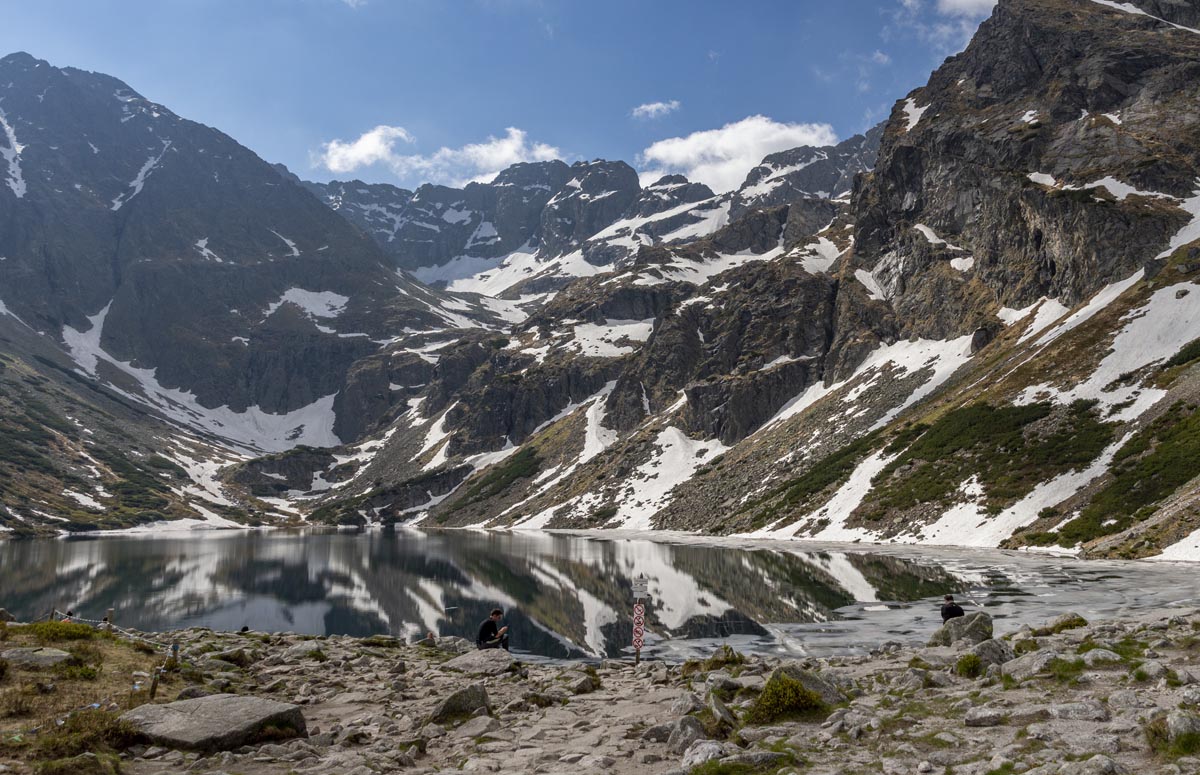
This hike is my personal favourite in Poland. The best part about it? It can be adjusted to the level of each hiker. You can choose how far you go and what level of difficulty you are ready to face. Stage number one is five kilometres from Kuźnice to Murowaniec mountain shelter on Gąsienicowa Coomb which is a big meadow surrounded by rocky, spectacular peaks. It’s one of the most picturesque places in the Tatras accessible by a moderate trail. Many hikers end their trip there, admire the views and go back down. The second stage requires walking two more kilometres to a stunning pond. The trail is still not technically difficult and even an inexperienced hiker can do it. You can also return from there.
Still feeling strong? Take a steep trail up to Karb Pass. It’s only one kilometre in distance but it will make you sweat, trust me! Also, you will get exposure once you are on the pass. This part is only suitable for hikers with good physical condition and no fear of exposure. The views? Incredibly amazing. You can get down from there or continue to…
Last but not least – the peak of Kościelec. I recommend it only to experienced hikers. It’s pure rock and you need to use your hands to go up, it is NOT for beginners. From the top, you will see one of the best panoramas in the Tatras.

Need to know
Map
Length: 16 km
Time: 8 hrs
Grade: This hike can be divided into difficulty stages. Initially, from Kuźnice to Murowaniec mountain shelter and further to Czarny Staw Gąsienicowy (Black Pond Gąsienicowy) there are no technical difficulties and the trail is moderate. The ascent to Karb Pass is steep and for hikers with a good physical condition. The final ascent to the peak of Kościelec is for experienced hikers only, it requires some elements of climbing skills.
Style: Return
Access: The trailhead is in Kuźnice. You will get there by mini-bus from the bus station in Zakopane. You can’t get to the trailhead by car as it’s a restricted area. The closest paid parking is located around 1.5 km from the trailhead.
Barania Góra, Silesian Beskid

If you wish to track the source of the longest river in Poland, the Vistula river, go to Barania Góra in the Silesian Beskid mountain range. Vistula river does not have one source but three source streams. Two of them start on Barania Góra. You will be able to follow them and see lovely small waterfalls and rock formations on the way. On top of the mountain, you can climb a viewing tower and see a 360 panorama of the surrounding mountain ranges.

Need to know
Map
Length: 18 km
Time: 6 hrs
Grade: Difficult
Style: Return
Access: The trailhead is in Wisła Czarne. You can get there by car and park at the trailhead called “Dolina Białej Wisełki”
Further reading: Barania Góra
Polonina Carynska, Bieszczady

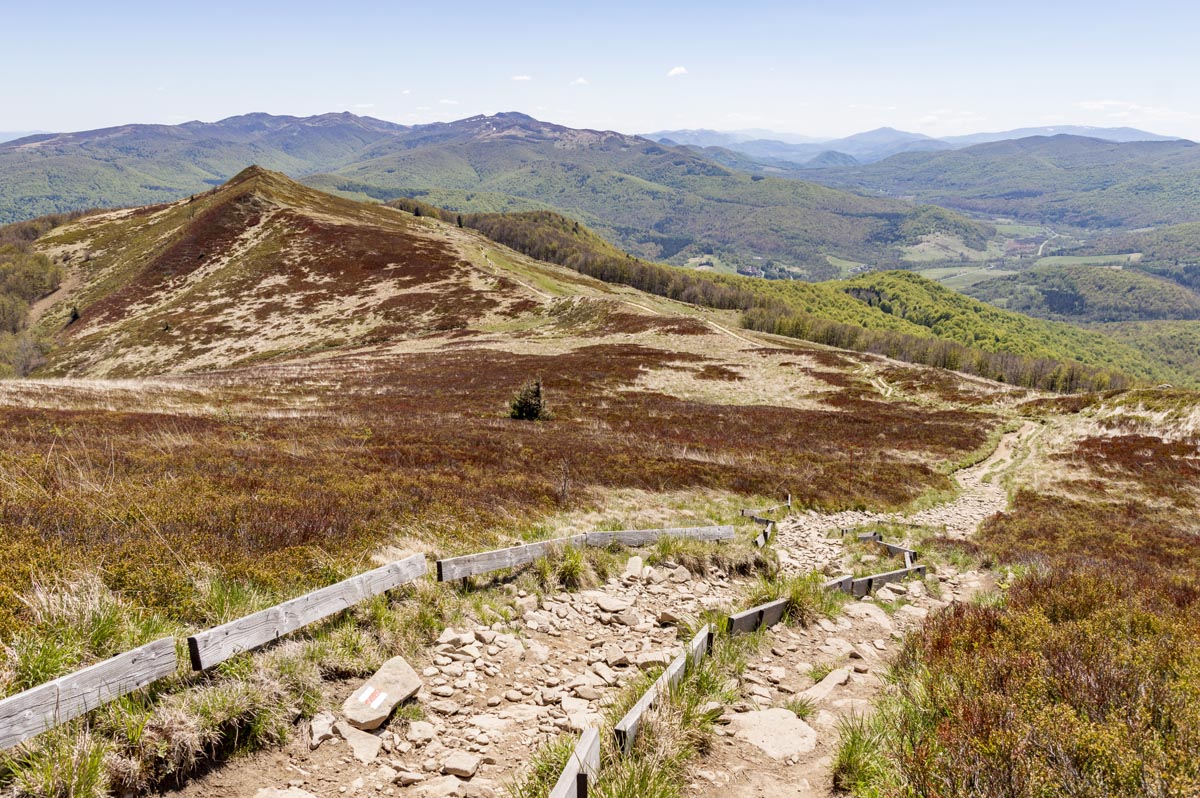
Bieszczady is one of the wildest mountain ranges in Poland shared with Ukraine and Slovakia. Its characteristics are “polonynas” – vast mountain meadows which were used for pasture. Now numerous trails cross “polonynas” and offer spectacular views. My favorite one on the Polish side is Połonina Caryńska. While hiking you can see a wide panorama of other peaks in Bieszczady, as well as the other famous “polonyna” – Połonina Wetlińska. Be careful – it gets super windy up there.
Need to know
Map
Length: 9 km
Time: 3 hrs 30 min
Grade: Moderate
Style: One Way
Access: The trailhead is in Ustrzyki Górne. You can get there by car or by mini-bus from the nearby village called Wetlina. It ends in Brzegi Górne and you can return to Wetlina (or to the trailhead) by local buses. You can also continue your hike up to Połonina Wetlińska with red and yellow trails and get to Wetlina on foot.
Further reading: Bieszczady mountains
Sokolica, Pieniny Mountains

Sokolica is a popular destination in the Pieniny mountains for sunrise. It’s famous for temperature inversion – which means you can often see clouds down in the valley and enjoy a spectacular show of light above them. Sokolica is also famous for an over 500-year-old pine tree growing on top. Unfortunately, in 2018 a helicopter damaged a part of the tree during a rescue operation and one of its main branches had to be chopped. Dendrologists took care of the tree and for now, it is still standing strong. Hurry though, they have no idea how the accident might affect it in the future.
Need to know
Map
Length: 7.5 km
Time: 3 hrs
Grade: Easy
Style: Return
Access: The trail starts in the center of Krościenko nad Dunajcem.
Mały Szlak Beskidzki (Little Beskid Trail)

Feeling adventurous? Poland has long-distance trails, too! The longest is Główny Szlak Beskidzki (Main Beskid Trail) which runs for 500 kilometres along the southern border and takes around 3 weeks to hike.
But let’s start easy – with Little Beskid Trail which is “only” 137 kilometres long. Easy, right? It took me 6 days (5 days of walking + 1 day of rest in the middle). The trail may not offer spectacular views, it’s mostly a path in the forest… but crossing it is one of the best experiences in my life. I’ve never broken so many physical barriers, I’ve never challenged my body so much… and at the same time, I’ve never rested so well mentally.
If you need to practice mindfulness and being in the moment, go for a long-distance trail. All problems of everyday life disappear – there is only you, your backpack (always too heavy), the forest, and the next step you need to take.

Need to know
Map
Length: 137 km
Time: 4 – 6 days
Grade: Difficult
Style: One Way
Access: The trail starts (or ends) on top of Luboń Wielki mountain and ends (or starts) in the city of Bielsko-Biała, Straconka district. You can get to Bielsko-Biała by train from many cities in Poland and then take a local bus to the trailhead. From Luboń Wielki you need to hike to Rabka-Zdrój and take a bus to a bigger city from there.
Have you been hiking in Poland? Got it on your bucket list? Got any questions, comments, updates or corrections? Let us know by commenting below.


