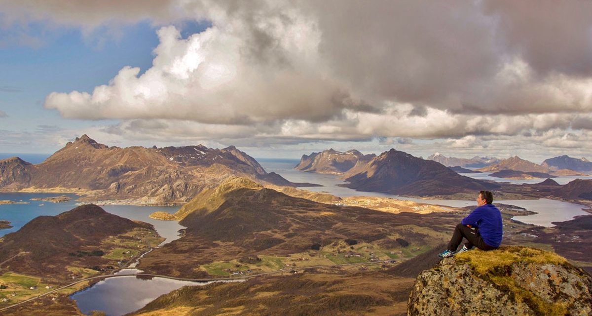
Image courtesy of Jan-Helge69, on flickr
It’s not hard to see why.
“The view was beautiful: blue sea, with glittering patches of drift-ice, and straight ahead the mountains… sharp-pointed peaks with snow on their upper flanks, rather as if the top 4,000 feet of the Alps had been cut off and transplanted in the Arctic Ocean.”
– writer-bioligist Julian Huxley
While you’re at it, make sure you get in on the utepils (Norwegian for a beer you drink outdoors). If the opportunity arises, do this with the locals. Skål!
Summit Norway’s tallest mountain – Galdhøpiggen

Image courtesy of Laurence Elsdon, on flickr
The summit isn’t the only reason to hike Galdhøpiggen, though. Set in the mountainous region of Jotunheimen, which translates to “home of giants”, the entire area is so picturesque that you won’t believe it’s real. The climb to the summit is sure to be just as worthwhile as the summit itself.
Galdhøpiggen can be reached via two different paths, from either Juvaashytta or Spiterstulen. Although both are difficult paths they can be done by anyone with a good level of fitness. If you choose to hike via Juvasshytta you will need a guide to assist with crossing the Styggebreen glacier.
Juvaashytta and Spiterstulen are at 1,841 metres and 1,106 metres respectively, so the summit isn’t as much of a climb as you might assume. Both routes are steep and steady all the way to the top, though. Whichever you choose, it will be an experience. Just look at the place. I’ve never seen anywhere like it.
Need to know
General Info: There is a stone hut at the summit of Galdhøpiggen which sells snacks and drinks, postcards and souvenirs. They only accept cash. Make sure you bring sufficient water as none is available on either route. Water from the glacier is not recommended for drinking.
From Juvasshytta
Length: 11.2 km
Time: 6 – 7 hours
Grade: Difficult
Style: Return
Car Access: Juvashytta is approximately 33 km from Lom. Head towards Sognefjellet on the 55, turning left at Galdesand when you see the sign that says Juvasshytta. You will need to pay 100 kroner at a toll booth after Raubergstulen. Tolls must be paid by card.
Public Transport Access: A local bus is available from Lom to Juvasshytta (only during the summer months) via NSB, Nor-Way Bus Express, or Fjord1 Bus. Private transfers may be available via commercial tour operators (as part of a guided hike or otherwise).
Tours: Guided tours run every day from May 25th to September 25th at 10am. From July 11th to August 13th there is a second tour departing at 11:30am. If you’re staying at Juvasshytta there is an early tour that departs at 9am (for guests only). You do not need to book ahead. Just arrive at Juvasshytta at least half an hour before the tour departs. Adults are 250 kroner, and children over 7 can join for 150 kroner.
Map: A Map should be available from Juvasshytta.
Further Info: The glacier section of this is slow going, crossing as a roped group. The final stretch to the summit is a long tough climb. This route cannot be completed without a guide and will require a high level of fitness. Accommodation is available at Juvasshytta.
From Spiterstulen
Length: 10.6 km
Time: 8 – 9 hours
Grade: Difficult
Style: Return
Car Access: Spiterstulen is about 32 km from Lom. Take the 55 towards Sognefjellet, then turn left at the sign that says Spiterstulen and continue along the Visdalsvegen to Spiterstulen. Upon arrival at Spiterstulen you’ll be asked to pay a toll of 80 kroner.
Public Transport Access: A local bus is available from Lom to Spiterstulen (only during the summer months) via NSB, Nor-Way Bus Express, or Fjord1 Bus. Private transfers may be available via commercial tour operators (as part of a guided hike or otherwise).
Map: A Map should be available from Spiterstulen.
Further Info: Although this route can be hiked without a guide, if visiting during inclement weather a guide is recommended (unless you’re a very experienced hiker). Guides and accommodation are available at Spiterstulen.
Ice-climb the Rjukan Valley

Image courtesy of explore-share.com
Due to the valley’s depth and climate, there are more than 150 waterfalls that freeze and stay frozen during most of the winter months. This means there are routes perfect for beginners, as well as some that will challenge even the most experienced climbers. Better yet, many of the routes can be reached from roadside car parks within less than a 15-minute walk.
It’s no wonder the town plays host to the annual Rjukan Ice Festival, which brings big-name climbers from all over the world to the tiny village of Rjukan.
Need to know
The village of Rjukan is 370 km from Bergen and 175 km from Oslo. You’re advised to stay in Rjukan and there are plenty of accommodation options in town. Beginners can take a multi-day ice-climbing course or a guided tour of anywhere from half a day to several days. Enquire in town or search online for options. Rjukan even has Europe’s first artificial ice-climbing wall, which can make a good place to dip your toes in.
Car Access: From Oslo, head south-west on the E18 until Drammen. From here turn west onto the E134 and follow it through Hokksund to Kongsberg. In Kongsberg, turn left onto Fv37 and then follow the signs to Rjukan. Winter driving conditions can be very tricky, so don’t take this on unless you’re experienced with driving on snowy and icy roads.
Public Transport Access: A local bus is available from Oslo to Rjukan via Nettbuss or Nor-Way Bus Express. You may also find package tours that include transport from Oslo or even Bergen.
The Jotunheimen Traverse

Image courtesy of Jerome Pardigon, on Flickr
As mentioned above, Galdhøpiggen (Norway’s highest peak) is part of the stunning Jotunheimen mountain range, but its summit is an optional side trip on this four-day traverse which will naturally add a day. Skipping the side trip will still leave you with plenty of “wow” moments.
The trail is best hiked from Gjendesheim to Turtagro but can be hiked in the opposite direction if you prefer. Either way, you’ll take in the famous Besseggen Ridge (pictured above). As you can see it’s a spectacular feature but it, unfortunately, means that the trail will be busy between Gjendesheim and here. Don’t worry though, the advantage of the four-day traverse is that you’ll escape the crowds once past the ridge. From here you’ll mostly have the trail to yourself, and it’s like walking in a postcard.
You’ll need to be an experienced hiker and be prepared for wet, cold and windy conditions to do this without a guide. However, guided tours are available which will take in a similar path or a longer one, whichever you prefer.
Need to know
Length: 94 km
Time: 4 days
Grade: Difficult
Style: One-Way
Maps: You’ll need the 1:50,000 scale Jotunheimen East & Jotunheimen West map by Ugland IT. This can be purchased online or via many bookshops and outdoor stores throughout Norway. There may be other maps that cover the area, so ask the experts at tourist information centres or outdoor stores.
Path Taken: Gjendesheim – Bessengen Ridge – Lake Russvalnet – Glitterheim – Leirvassbu – Gravdalen – Storutladalen – Fannaraken – Turtagro
Public Transport Access: Buses are available from Oslo to Gjendesheim and from Turtagro to Oslo, via Nor-Way Bus Express. Using a car isn’t recommended as you’ll need to arrange to leave another car at the end of the hike.
Sleeping on the Trail: Mountain huts and lodges are available at a high cost. Free camping is available anywhere in the park. Just make sure you’re over 150 metres from the huts and lodges.
Food: Although supplies can be purchased from lodges and even some of the mountain huts, it will be understandably overpriced. Make sure you stock up before you leave town.
Further Info: The Jotunheimen Traverse is best hiked late June and early September.
Kayak the Folgefonna Glacier

Image courtesy of Visit Norway
In the Hardanger region of Norway’s Hordaland County, intrepid travellers can paddle one of these freezing cold glacial lakes, dodging icebergs along the way, to a section of the Folgefonna Glacier. You’ll find yourself in a surreal location, barely able to believe your surroundings aren’t photoshopped.
Under the right conditions, you’ll be able to leave the lake and kayak through narrow streams. You might even be able to paddle up close to waterfalls that flow from the glacier. This is an adventure unique to the arctic regions of the world, that’s arguably best experienced in Norway.
Need to know
Whichever tour you take, it will include experienced guides and all the necessary equipment, including a dry-suit. Despite the dry-suit, be prepared to be cold. Most tours are restricted to people 15 or older but don’t require any previous kayaking experience. Your tour operator will either provide transfers or advise on the best way to get to the start point of the tour.
Hike Pulpit Rock
")
Image courtesy of Visit Norway
Having mentioned that, it can be a bit busy at times, but this is still an attraction not to be missed. It’s known to be one of the easiest hikes in Norway (if you discount the potential for falling to your death from the lookout – don’t worry it’s only happened a few times), but it’s also one of the most rewarding.
While you’ll be tempted to get that perfect Instagram photo of yourself standing on the edge of Pulpit Rock or even dangling your feet over the edge, be careful. The rocks can be slippery, especially when wet, and the fall will almost certainly result in death. I know you’re an adventurer, but make sure you use your brain.
The rock itself dangles over a sheer cliff face that juts out 600 metres above the Lysefjord fjord. The views across the fjord are nothing short of breathtaking.
Need to know
Length: 6 km
Time: 4 hours
Grade: Moderate
Style: Return
Car Access: From Stavenger, catch a ferry from the harbour to the township of Tau and then take the Rv13, following the signs to Preikestolen.
Public Transport Access: Tau can be accessed via ferry from the harbour at Stavenger, even for pedestrians. Buses run several times a day from Tau to the carpark at Pulpit Rock and are timed to meet the ferry.
Tours: A variety of tours are available and some will take you off the beaten track around Preikestolen, or will include a fjord cruise or kayak. You can even do a night tour and experience the precarious clifftops in the dark.
Further Info: Bring ample water and snacks as this can be an exhausting hike, even though it’s a short one. Proper shoes are recommended as the trail and Pulpit Rock itself can be slippery (this is not somewhere you want to slip, like, at all). Although the trail can be completed in four hours, it’s recommended to allow a full day here to take your time and enjoy the location. There’s a cafe and toilets at the trailhead.
Snowmobile Svalbard

Image courtesy of Visit Norway
Svalbard is home to all kinds of arctic wildlife, including nearly 20% of the world’s polar bears. They far outnumber people here. If you’re lucky, in some areas you may witness female polar bears with their cubs.
The remote north of Norway is best accessed by snowmobile. There are a range of snowmobile tours available here, from day-trips to multi-day safaris that will cover close to 200 kilometres a day, taking you to the most remote far reaches of Svalbard.
Need to know
There are too many tours available to mention specifically so do your research and find a tour that suits your needs. Some tours will require driving your own snowmobile so choosing from those will require assessing your abilities. Easier trips do not require any snowmobile experience.
Tour operators may change your intended route depending on weather and snow conditions. This is for your own safety, so keep this in mind when planning your trip.
Dress in layers and bring a backpack with extra clothes. It’s cold out there and you’ll want your tour to be comfortable.
The famous Kjeragbolten

Image courtesy of Visit Norway
For those who aren’t in the know, Kjeragbolten is a 5 m³ boulder that’s sat wedged in a crevasse at the edge of Kjerag mountain in Lysefjorden for over 50,000 years. One of the most popular tourist attractions in Norway, it attracts thousands of tourists every year.
Would I honestly stand on it, though? I can’t say until I have the chance to give it a shot, really. You’ve got to admit it makes for a magnificent photo but shit, what good is a photo if you’re dead? You’ve got almost 940 metres to fall if you lose your footing.
Surprisingly, no hikers have ever died here as far as I can find out. 10 or so people have died at Kjeragbolten since 1996, but all of them have been base jumpers so, you know, they kind of half expected to die.
Stepping out onto the boulder has been said to bring good luck, so maybe that’s true. It would explain everything.
The hike to Kjeragbolten is a long steep climb, with chains to assist you along the way, so the boulder isn’t the only attraction. It might be a short hike but it’s a challenging one all the same, and the views along the way are said to be some of the best in Norway.
Need to know
Length: 12 km
Time: 6 – 8 hours
Grade: Difficult
Style: Return
Car Access: From Stavenger, head south on the E39 and then north east from Hegelstad on the 45. Follow the signs to Kjerag. There is a 100 kroner fee for parking at the trailhead.
Public Transport Access: Buses are available from Stavenger to Kjerag via Tide Reiser.
Further Info: The hike should only be attempted between June and September. Guided tours are available online and from the surrounding towns but they’re not necessary for anyone with moderate hiking experience.
Reindeer Sledding in the far north

Image courtesy of Visit Tromsø
Your guide will teach you all about the history of reindeer sledding and their lives as herders. Of the 50,000 Sami who remain in Norway, only 5,000 of them are still reindeer herders, but they’re part of a culture rich in stories.
Reindeer sledding is a much lighter adventure than the others I’ve mentioned here, so it’s suitable for all ages and abilities. All you need to do is rug up and sit back, enjoying the incredible white landscape while the reindeer do all the hard work.
Although many single day tours are available, the best option is to take an overnight sledding adventure where you’ll sleep in a traditional Sami tent called a Lavvu. The north of Norway is one of the best places in the world to see the Northern Lights (Aurora Borealis) and November to March, when the snow is falling, is reindeer sledding season. Considering March is an ideal time to spot the Northern Lights, these tours might be your best chance.
Need to know
Have you been to Norway? What was your favourite outdoor adventure? Got any questions, comments, updates or corrections? Let us know by commenting below.
Exploring the Great Ocean Road?
You won’t see the best sights from your car. Get the definitive guidebook, featuring the 25 best walks in the area with detailed instructions and maps.


A paradise for hikers! Thanks for the beautiful photos and detailed infos. I’ve never been in Norway but now I know I definitely have to see the fjords!
In winters Norway is an exceptional place with a number of things to do.I have been to Norway last year in winters and it was an outstanding experience, it was my first time but the outdoor activities keep the fun and adventure going and going.
I loved Norway. We didn’t have a lot of time do headed up to the Lofoten Islands but it was January so was covered in snow- so spectacular I have no words. Plus we saw the northern lights!! I’m bookmarking this for our return journey thanks
Hey Julie,
Sounds amazing! I’m not surprised it’s left you speechless. Hope you get to go back and that this article is a help if you do!
Cheers
Neil
These will definitely get into my bucket list for the year. Thanks again.
My pleasure, Michael! Would love to hear about your travels when you eventually get there.
Cheers
Neil