
Last Visited: 21/11/2009
Length (km): approx. 2 km (according to the iMapMyRun application for iPhone)
Time (hrs/min): 30 mins
Grade: Easy
Return / Circuit / One-Way / Partial Circuit: Circuit
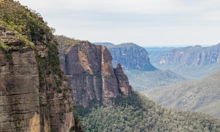
Region: Melbourne
Park: Dandenong Ranges National Park
Closest Town: Kalorama
Maximum Elevation: approx. 259 m (according to MapMyWalk.com)
Total Ascent: approx. 14 m (according to MapMyWalk.com)
Car Access: The walk begins at the intersection of Olinda Creek Road and “Road 13″ (a parks management track). I turned off the Mount Dandenong Tourist Road at Barbers Road (just before the scenic lookout if coming from Olinda). Barbers Road becomes Olinda Creek Road, so you just need to look out for a gated track on the left with a white “13″ sign and park here (Melways Ref: 120 D12).
As you can see from the photos, it’s a really nice part of the Dandenongs – Definitely worth a visit if you’re in the area. The area was subject to fuel reduction burning in 2008, so it was interesting to see how it has regenerated.
After a very short stroll on “Road 13″, turn right (east) on a track that is marked as “Olinda Creek Track”. This track is quite overgrown, but still easy to follow. Head straight at any intersections until you hit the lovely Olinda Creek, where you’ll see the old makeshift-bridge (see photo below).
 - Dandenong Ranges National Park - Kalorama - Victoria")
Part of the short section on “Road 13″
 - Dandenong Ranges National Park - Kalorama - Victoria")
Part of the track signed as “Olinda Creek Track”
(heading towards the creek)
 - Dandenong Ranges National Park - Kalorama - Victoria")
A bridge (sort of) over Olinda Creek
After checking out the bridge, head back the way you came and head left on the first track (the last one you passed) to take a different route back to the car. This continues to be quite overgrown but as long as you head left again at the next intersection, you’ll find yourself back on the Olinda Creek Road (near where you started). Head back to the car along the road.
 - Dandenong Ranges National Park - Kalorama - Victoria")
A strange-looking flower that was everywhere alongside
the track (Ken suggests that it is “probably
Thysanotus tuberosus – common name Common
Fringe-lily – but most definitely one of the
Thysanotus sp.” – Thanks Ken!)
Have you visited Olinda Creek? If you have any stories, updates or corrections, please let us know by commenting below.


Thanks for the walk, took the kids on a short walk down there today. Pretty much the same as you described. Only downside wasn’t long enough and l got a few leeches ( l hate leeches)
The flower is probably Thysanotus tuberosus common name Common Fringe-lily, but most definitely one of the Thysanotus sp.
Thanks heaps Ken!