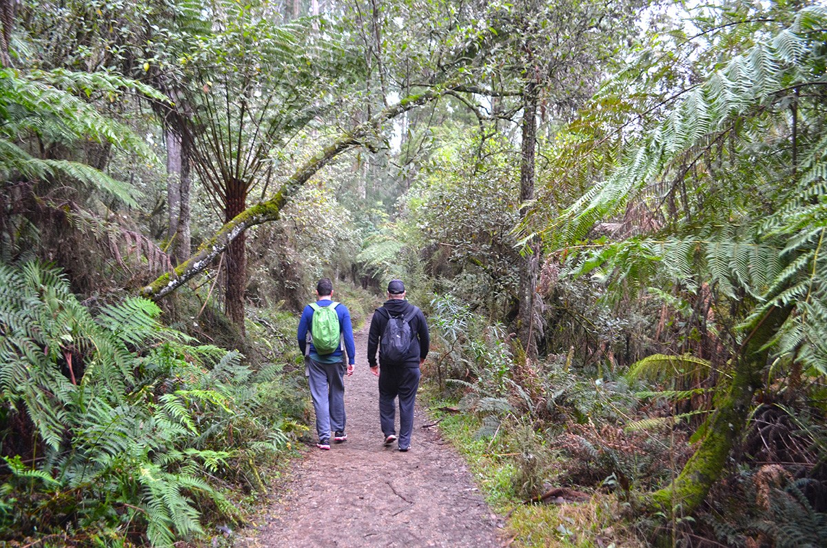
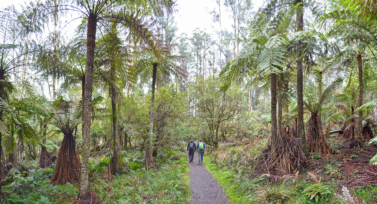
On the Eastern Sherbrooke Forest Walk you’ll traverse one of the most beautiful sections of the Dandenong Ranges, where a tangled mess of lush vegetation is towered over by Mountain Ash and some of the tallest tree ferns I’ve ever seen.
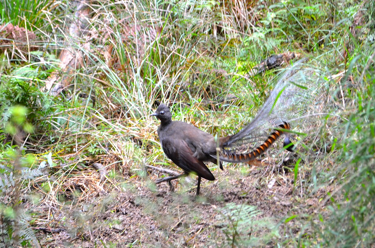
I’ve never visited this part of Sherbrooke Forest without having a close encounter with some kind of native wildlife, from Lyrebirds to Crimson rosellas, wallabies and Lace Monitors. There’s really only one steep ascent (the rest is gently undulating), so while it’s a good trail to get the heart pumping, it’s not too challenging for the kids if they’re relatively fit. Do make sure you pay attention at track junctions and pick the tracks I’ve described for you below (check the Need to Know section for clarity).
At Grants Picnic Ground, the trailhead is to the left of the kiosk. It’s not signed as “Eastern Sherbrooke Forest Walk” but there is a sign to the Lyrebird Track. Follow this for a short time, ignoring one or two track junctions before you come to Neumann Track on the right. There might be quite a few other visitors on the Lyrebird Track but once you turn off you’ll find yourself all alone.
When you eventually turn right onto Paddy Track you’ll be faced with a very steep descent. It’s tough on the knees but you won’t have much time to recover before joining Welch Track for one hell of a climb. On the upside, from here it’s a gentle stroll through taller, more open forest back to the carpark.


Need to Know
Last Visited: 2019
Length: 7.1 km
Time: 2 hrs
Grade: Moderate / Grade 3 (according to the Australian Walking Track Grading System).
Style: Circuit.
Region: Melbourne
Park: Dandenong Ranges National Park
Closest Town: Kallista
Path Taken: Grants Picnic Ground – Lyrebird Walk – Neumann Track – Paddy Track – Welch Track – Coles Ridge Track – Grants Picnic Ground.
Car Access: Go all the way to the end of Burwood Hwy and turn left at Monbulk Road. The carpark is a few km up on the right. (We got to Burwood Hwy from Reservoir via the Eastern Fwy).
Nearby: If you’re still in need of another hike, make a day of it and check out Sherbrooke Falls while you’re there.
Exploring the Great Ocean Road?
You won’t see the best sights from your car. Get the definitive guidebook, featuring the 25 best walks in the area with detailed instructions and maps.


My son and I walked the Eastern Sherbrooke Forest Track on the weekend. It is in fantastic condition, and exactly as described. The heart was pumping and the hips can feel the descent a few days later, but it was truly beautiful and the sound of the male lyrebird calls was spectacular. Highly recommended!