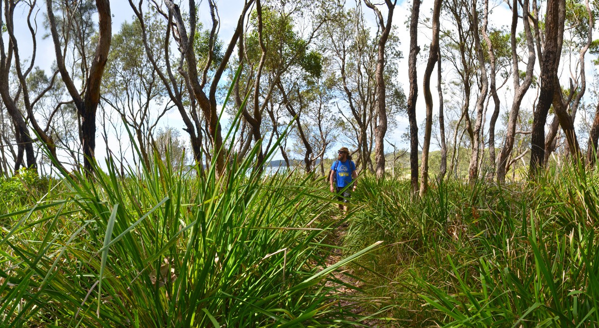
When the trail turns to sand, cross the dry inlet and find the track on the other side (look for the sign with the castle symbol) and continue until you find the Walter Hood Monument. The monument is actually a gravesite where the bodies of the captain and one of the passengers of the clipper Walter Hood still lie. The Walter Hood struck a reef in Wreck Bay after encountering a heavy storm and went down slowly over four nights.
Return to the inlet and take a beach walk back towards the Holly Street carpark. This is a great spot for a paddle in the waves but keep in mind that there are no lifeguards and dangerous rips are common here. At the very least remove your hiking boots and walk with your feet in the water.
Find the furthest beach access track as you near the end of Monument Beach and return to the track you started on, retracing your steps to the car.


Need to Know
Last Visited: 2017
Length: 2 km
Time: 1 hr
Grade: Easy / Grade 3 (according to the Australian Walking Track Grading System).
Style: Partial Circuit.
Region: New South Wales.
Park: Conjola National Park
Closest Town: Milton (29 km)
Path Taken: Holly Street Carpark – Nerindillah Lagoon – cross inlet and find track – Walter Hood Monument – return to Monument Beach – find furthest beach access track – Holly Street Carpark.
Car Access: From Milton, head north on the Princes Hwy. After around 15 kilometres, turn right into Bendalong Road and after a further 13 kilometres turn left into Maple Street. This becomes North Bendalong Road and then eventually Holly Street. At the bend where Holly Street becomes Boundary Road, there’s a carpark on the far corner. You’ll find a walking track here heading north.
Map: No map is available or necessary. Follow the directions above and it will be very unlikely to get lost.
Have you visited Conjola National Park? Got it on your bucket list? If you have any stories, updates or corrections, please let us know by commenting below.
Exploring the Great Ocean Road?
You won’t see the best sights from your car. Get the definitive guidebook, featuring the 25 best walks in the area with detailed instructions and maps.


